GIS for Security and Effective Governance: Working Meeting with the Dobryanka Territorial Community
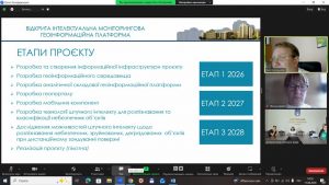
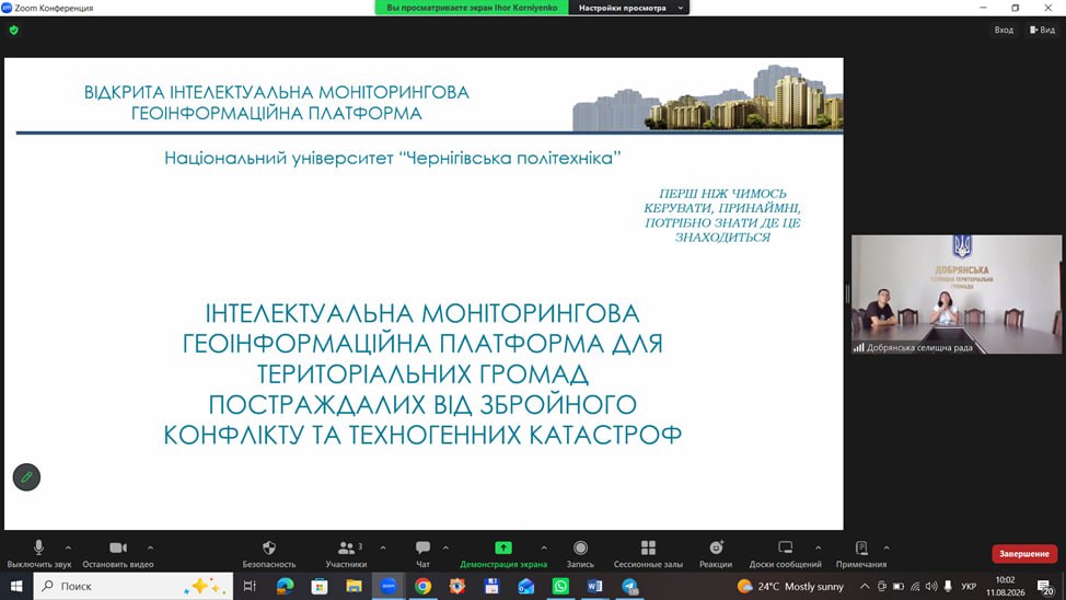
Despite the summer season and holiday period, work continues on the project “Development of an Intelligent Monitoring Geoinformation Platform for Territorial Communities Affected by Armed Conflict and Man-Made Disasters,” funded by the Ministry of Education and Science of Ukraine. Another important stage was a working meeting with representatives of the Dobrianka territorial community, during which project leader Associate Professor I. Korniienko (Ph.D. in Tech. Sc.) and executor Professor Zh. Derii (Doctor of Econ. Sc.) presented the capabilities of geoinformation technologies for modern territorial management.
At the centre of the meeting was the geoinformation system as a practical tool for the community. It allows not only displaying information on a map, but also accumulating, systematising, and analysing spatial data, tracking territorial changes, and using the gathered information to make informed management decisions.
Special attention during the presentation was paid to the security component. For communities operating under military threats, GIS can serve as a tool for risk monitoring, spatial analysis, and rapid response. At the same time, the meeting participants discussed the possibilities of using the platform to monitor hazardous phenomena, environmental issues, the state of land resources, and other processes taking place within the community’s territory.
An essential component of this cooperation is involving the university in solving the practical tasks of communities. This involves not only technical support for the platform, but also the execution of applied analytical tasks, training specialists, and engaging students to work with real territorial problems. This approach creates mutual benefit: the community receives the necessary tools and analytical support, while students get the opportunity to work with real data and practical tasks.
The meeting with the Dobrianka community served not only as a presentation of the future geoinformation platform’s capabilities, but also as a crucial stage of dialogue regarding the community’s actual needs. It is precisely this kind of interaction that makes it possible to adapt GIS tools to specific local conditions and develop solutions of practical value for local self-government bodies and residents
The next step is joint work on defining the specific tasks of the Dobrianka community that can be resolved using geoinformation technologies – because effective digitalization of governance begins not with a map, but with a real community need.